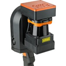
SLAM 3D scanners
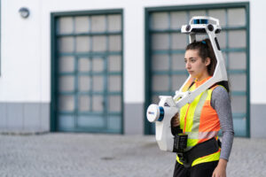
SLAM (simultaneous localization and mapping) is when a computational device maps out an environment while simultaneously keeping track of its own dynamic position within it.
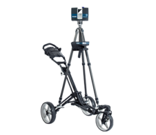
Some 3D scanners use SLAM technology, enabling them to rapidly gather data in indoor settings (e.g. for interior design applications) or outdoor environments (e.g. for surveying).
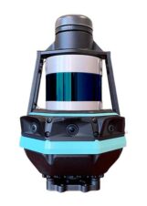
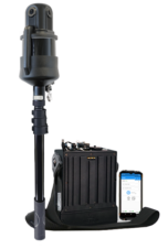
Such a device typically utilizes an inertial measuring unit (IMU), LiDAR scanning technology, and image capture technology to build an accurate point cloud. The benefits of SLAM 3D scanning include speed, ease of use, and usability in remote locations.

Source: Leica
Related content
Featured SLAM 3D scanner
Compare
VLX (2nd generation)
| Category | SLAM |
| Technology | Laser pulse |
| Max. resolution | - |
| Release date | 2021 |
| Country | Germany |
Price
Approximate starting prices based on supplier-provided information and public data. Prices may vary by region, over time and do not include additional products or services (taxes, shipping, accessories, training, installation, ...).
upon request
 English
  Français

